
🏆 Live-Lage – Winner of the DIREKTION Award 2025!
- Oct 13, 2025
- 2 min read

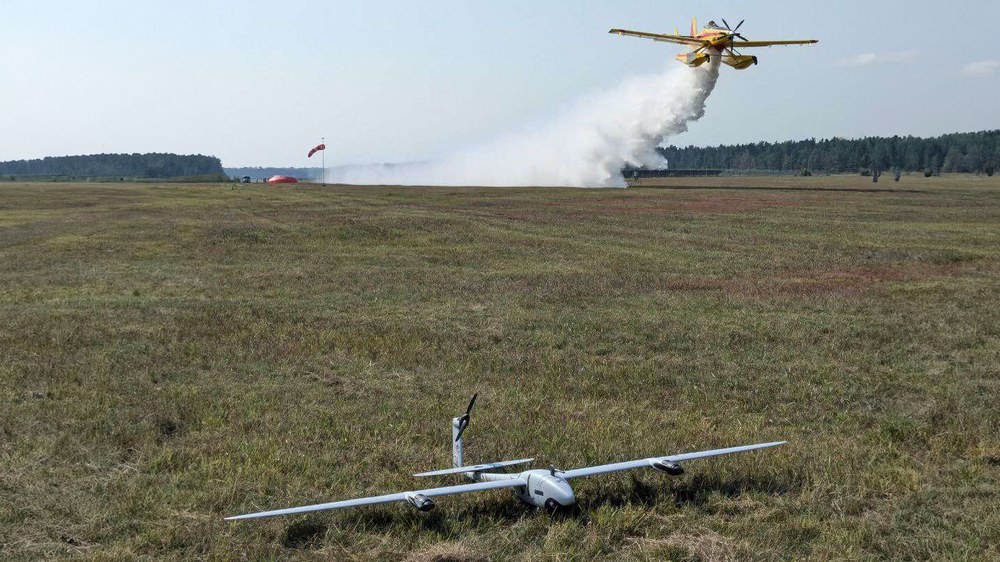
Real-time aerial situational awareness — that’s what Live-Lage delivers. Developed by the German Aerospace Center (DLR), this UAV-supported solution creates real-time maps of incidents to guide response.
Our solution addresses Capability Gap 2: the real-time detection, monitoring and analysis of threats and hazards. Developed by the German Aerospace Center (DLR) and partners, the system combines high-performance aerial imagery (MACS cameras), real-time onboard image and geospatial processing, and seamless integration with incident command and control systems. It enables first responders to have comprehensive situational awareness from aerial imagery - within seconds after data acquisition.
What sets this solution apart is its unique ability to generate and distribute high-resolution and highly precise geospatial intelligence in real time - directly from airborne platforms, such as drones (for small- to mid-scale incidents) or crewed aircraft (for wide-area operations). As an incident is surveyed, the system continuously compiles an up-to-date situational map that can be immediately visualized and used by responders, e.g. via the CommandX platform, which is already widely used by emergency services. The system is particularly suited for large-scale incidents such as wildfires, floods, earthquakes and other complex disaster scenarios. It supports informed decision-making by accurately mapping hazard zones, asset locations and threat developments in real time.
With a Technology Readiness Level of 9, the solution has already been operationally tested by the Duisburg Fire Department for over three years. It uses Quantum-Systems' vertical take-off and landing (VTOL) drone platform, combined with DLR's advanced imaging technology and algorithms, and Eurocommand's incident management and control software. This integrated system offers a globally unique capability: true real-time geospatial data generation and situational awareness for tactical emergency response.
Level of innovation: Technology known and used worldwide for more than 3 years, but with a globally unique integration and real-time operational capability.
👏 Honoured for its relevance to urgent response needs in complex terrain.


Discover more innovative solutions for emergency responders here.